


Archiu:Saint Chely Tarn.jpg
Tamany d'esta vista prèvia: 800 × 360 píxels. Atres/s resolucions: 320 × 144 píxels | 640 × 288 píxels | 1024 × 461 píxels | 1280 × 577 píxels | 2560 × 1153 píxels | 6609 × 2977 píxels.
Resolució completa. ((6609 × 2977 pixels, tamany de l'archiu: 13,36 MB, MIME tipo: image/jpeg))

|
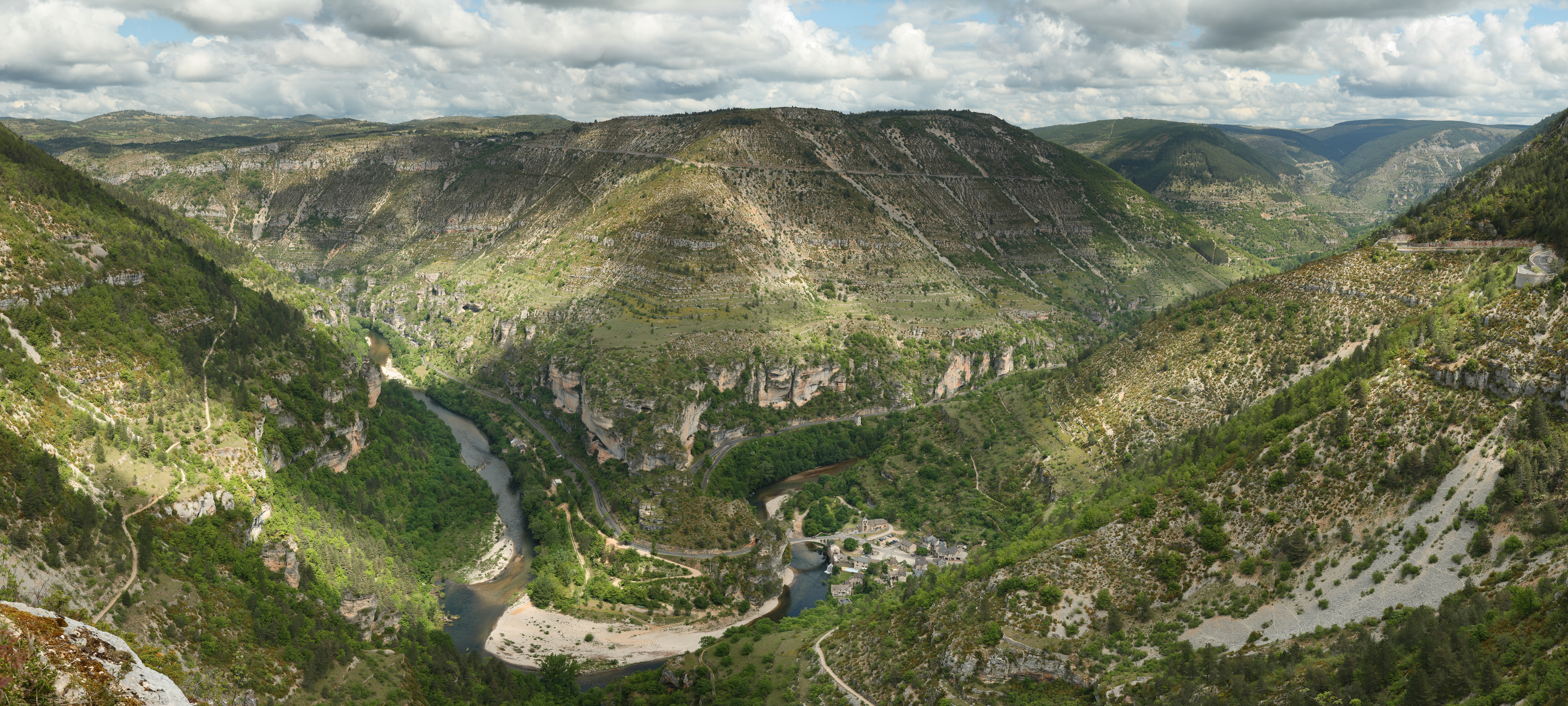
This image was selected as picture of the day on Wikimedia Commons for 13 February 2010. It was captioned as follows: English: View over the cirque of Pougnadoires and Saint-Chély-du-Tarn village, in the Tarn Gorges, from the cirque of Saint-Chély, France. Other languages:
Bosanski: Pogled preko cirka Pougnadoires i sela Saint-Chély-du-Tarn, u kanjonu rijeke Tarn, iz cirka Saint-Chély, Francuska Català: Vista del circ glacial de Pougnadoires, en les gorgues del Tarn, al municipi occità de Santa Enimia, França. Dansk: Udsigt over kedeldalen Pougnadoires og landsbyen Saint-Chély-du-Tarn i Gorges du Tarn i Cevennerne i Frankrig. Deutsch: Die Gorges du Tarn mit dem Dorf Saint-Chély-du-Tarn English: View over the cirque of Pougnadoires and Saint-Chély-du-Tarn village, in the Tarn Gorges, from the cirque of Saint-Chély, France. Español: Vista del circo glaciar de Pougnadoires y del pueblo de Saint-Chély-du-Tarn, en las gargantas del rio Tarn, Francia. Français : Vue du cirque de Pougnadoires et du village de Saint-Chély-du-Tarn, dans les gorges du Tarn, France. Italiano: Panoramica del circo glaciale del Pougnadoires e del villaggio di Saint-Chély-du-Tarn, nelle Gole del Tarn, in Francia. Magyar: A Tarn folyó szurdokvölgyének panorámaképe a languedoc-roussilloni Saint-Chély-du-Tarn település közelében Nederlands: Gezicht over het keteldal (cirque) van de Franse dorpen Pougnadoires en Saint-Chély-du-Tarn in de Gorges du Tarn, gezien vanaf het keteldal van Saint-Chély Polski: Widok na dolinę rzeki Tarn we Francji. Svenska: Byn Saint-Chély-du-Tarn vid floden Tarns dalgång i Frankrike. Русский: Вид горного цирка Пуньядуар и села Сен-Шели-дю-Тарн, которое лежит в долине реки Тарн, Франция Українська: Вигляд гірського цирку Пундуар і села Сент-Шелі-дю-Тарн, яке лежить в тіснині річки Тарн, Франція. বাংলা : ফ্রান্সের টার্ন গর্জেসে অবস্থিত সেই শিলে দু-টার্ন গ্রামের একটি দৃশ্য। 中文: 法国塔尔恩峽谷普格纳杜瓦勒和塔尔恩的圣谢里村风景 中文(繁體): 法國塔爾恩峽谷普格納杜瓦勒和塔爾恩的聖謝里村風景 |
|




Summary
| Description |
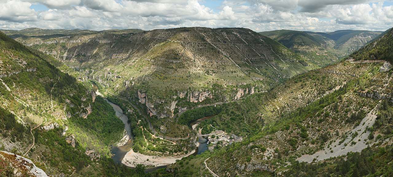
English: View over the cirque of Pougnadoires and Saint-Chély-du-Tarn village, in the Tarn Gorges, from the cirque of Saint-Chély. This picture features the road D 907bis which goes alongside the Tarn river all along the gorges. This picture is a mosaic of 14 pictures taken at 43mm, f/8.0, 1/250s and ISO 100. Stitching was done with Hugin and Enblend. Resulting hozirontal FOV is 118°.
Français : Vue du cirque de Pougnadoires et du village de Saint-Chély-du-Tarn, dans les gorges du Tarn. Cette photo a été prise d'un belvédère du bord de la D986, sur le cirque de Saint-Chély. On aperçoit sur le bas du versant opposé la départementale 907bis qui longe le Tarn dans ses gorges par la rive droite. Cette image a été réalisée à partir de 14 photos prises à 43mm, f/8.0, 1/250s et ISO 100. Le collage a été réalisé avec Hugin et Enblend. Le champ de vision horizontal résultant est de 118°. |
| Date | |
| Source | Own work |
| Author | Benh LIEU SONG |
| Camera location |  | View this and other nearby images on: OpenStreetMap |  |
|---|

Licensing
I, the copyright holder of this work, hereby publish it under the following license:


This file is licensed under the Creative Commons Attribution-Share Alike 3.0 Unported license.
- You are free:
- to share – to copy, distribute and transmit the work
- to remix – to adapt the work
- Under the following conditions:
- attribution – You must give appropriate credit, provide a link to the license, and indicate if changes were made. You may do so in any reasonable manner, but not in any way that suggests the licensor endorses you or your use.
- share alike – If you remix, transform, or build upon the material, you must distribute your contributions under the same or compatible license as the original.
Historial de l'image
Puncha en la data/hora per a vore l'image tal i com es mostrava en eixe moment.
| Data/Hora | Miniatura | Dimensions | Usuari | Descripció | |
|---|---|---|---|---|---|
| actual | 18:12 12 ago 2008 | | 6609 × 2977 (13,36 MB) | wikimediacommons>Benh | Changed colors. I believe this is more true to what I saw. |
Enllaços a l'image
Les següents pàgines enllacen ad esta image:
