


Archiu:Mons, Hérault 01.jpg

Tamany d'esta vista prèvia: 800 × 500 píxels. Atres/s resolucions: 320 × 200 píxels | 640 × 400 píxels | 1024 × 640 píxels | 1280 × 800 píxels | 2560 × 1600 píxels | 6016 × 3760 píxels.
Resolució completa. ((6016 × 3760 pixels, tamany de l'archiu: 18,25 MB, MIME tipo: image/jpeg))
Summary
| Description |
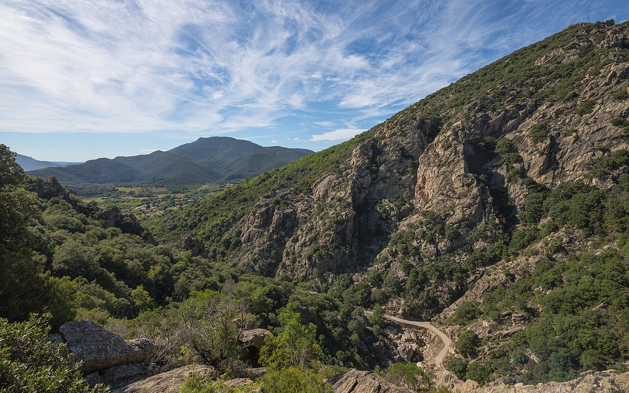
Français : L'extrémité sud des Gorges d'Héric, en haut à droite le Pas du Cabalet (543m), en contrebas au premier plan le Ruisseau d'Héric, dans le fond à gauche la vallée du Jaur et derrière cette dernière le Mont Naudech (753m). Mons, Hérault, France. Parc naturel régional du Haut-Languedoc. English: The Southern end of the Gorges d'Héric, at above on the right the Pas du Cabalet (543m), below in the foreground the Ruisseau d'Héric, in the background in the left the Jaur Valley and behind it the Mont Naudech (753m). Mons, Hérault, France. Haut-Languedoc Regional Natural Park. |
| Date | Taken on 1 October 2013, 12:10:06 |
| Source | Own work |
| Author | Christian Ferrer |
| Permission (Reusing this file) |
I, the copyright holder of this work, hereby publish it under the following license:    This file is licensed under the Creative Commons Attribution-Share Alike 3.0 Unported license.
|
| Camera location |  | View this and other nearby images on: OpenStreetMap |  |
|---|
|




| Annotations | This image is annotated: View the annotations at Commons |

|
This image has been assessed under the valued image criteria and is considered the most valued image on Commons within the scope: Southern end of the Gorges d'Héric. View from Northeast in 2013.. You can see its nomination here. |
Historial de l'image
Puncha en la data/hora per a vore l'image tal i com es mostrava en eixe moment.
| Data/Hora | Miniatura | Dimensions | Usuari | Descripció | |
|---|---|---|---|---|---|
| actual | 05:50 12 oct 2013 | | 6016 × 3760 (18,25 MB) | wikimediacommons>Christian Ferrer | User created page with UploadWizard |
Enllaços a l'image
Les següents pàgines enllacen ad esta image:
