


Archiu:Laguna del Carbón 2021-08-02 Sentinel-2 L2A True color.jpg


Summary
| Description |
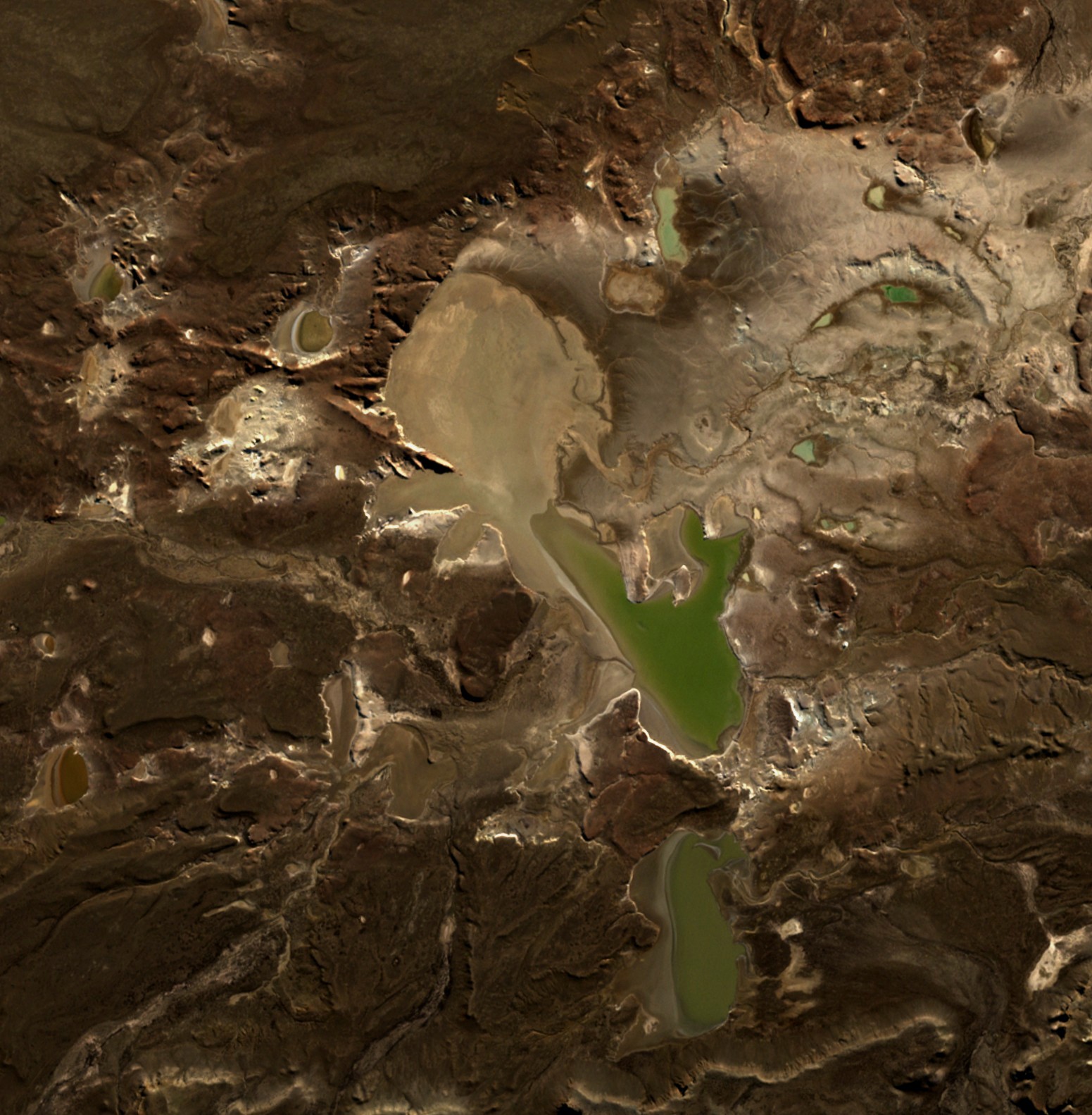
English: Laguna del Carbón is the lowest point of Argentina and the Americas, and the seventh-lowest point on Earth. |
| Date | |
| Source | https://apps.sentinel-hub.com/eo-browser |
| Author | European Space Agency |
| Camera location |  | View this and other nearby images on: OpenStreetMap |  |
|---|

Licensing

|
This image contains data from a satellite in the Copernicus Programme, such as Sentinel-1, Sentinel-2 or Sentinel-3. Attribution is required when using this image.
Attribution: Contains modified Copernicus Sentinel data 2021
The use of Copernicus Sentinel Data is regulated under EU law (Commission Delegated Regulation (EU) No 1159/2013 and Regulation (EU) No 377/2014). Relevant excerpts:
Free access shall be given to GMES dedicated data [...] made available through GMES dissemination platforms [...].
Access to GMES dedicated data [...] shall be given for the purpose of the following use in so far as it is lawful:
GMES dedicated data [...] may be used worldwide without limitations in time.
GMES dedicated data and GMES service information are provided to users without any express or implied warranty, including as regards quality and suitability for any purpose.
|
Historial de l'image
Puncha en la data/hora per a vore l'image tal i com es mostrava en eixe moment.
| Data/Hora | Miniatura | Dimensions | Usuari | Descripció | |
|---|---|---|---|---|---|
| actual | 22:36 3 maig 2022 | | 1551 × 1582 (490 kB) | wikimediacommons>Hubert Kororo | Uploaded a work by European Space Agency from https://apps.sentinel-hub.com/eo-browser with UploadWizard |
Enllaços a l'image
Les següents pàgines enllacen ad esta image:
