

Archiu:Amerikanisches Mittelmeer NASA World Wind Globe.jpg
Tamany d'esta vista prèvia: 800 × 525 píxels. Atres/s resolucions: 320 × 210 píxels | 640 × 420 píxels | 1024 × 672 píxels | 1280 × 840 píxels | 1600 × 1050 píxels.
Resolució completa. ((1600 × 1050 pixels, tamany de l'archiu: 753 kB, MIME tipo: image/jpeg))
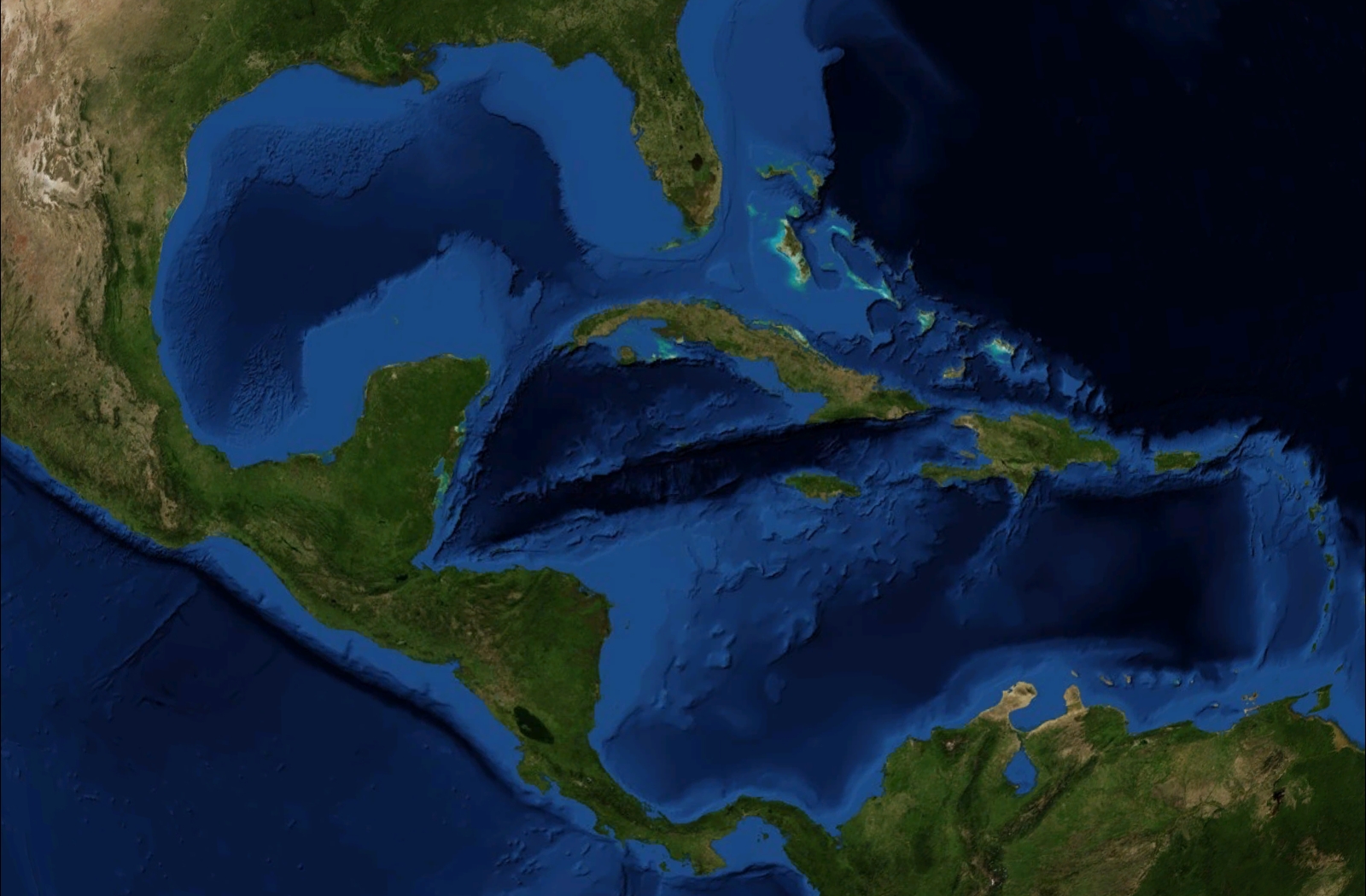
| Description | Satellite pictures, from NASA World Wind Globe, version 1.4 |
| Date | |
| Source | Own work |
| Author | ILA-boy |
| Permission (Reusing this file) |
GNU General Public License |
| Other versions | Derivative works of this file: Caribbean Sea labeled ru.jpg |
| This image is in the public domain because it is a screenshot from NASA’s globe software World Wind using a public domain layer, such as Blue Marble, MODIS, Landsat, SRTM, USGS or GLOBE.
|
 |
Historial de l'image
Puncha en la data/hora per a vore l'image tal i com es mostrava en eixe moment.
| Data/Hora | Miniatura | Dimensions | Usuari | Descripció | |
|---|---|---|---|---|---|
| actual | 16:30 22 jun 2008 | | 1600 × 1050 (753 kB) | wikimediacommons>ILA-boy | {{Information |Description=Satellite pictures, from NASA World Wind Globe, version 1.4 |Source=own work |Date=June 2008 |Author=ILA-boy |Permission=GNU General Public License |other_versions= }} {{GPL}} Category:Satellite pictures |
Enllaços a l'image
Les següents pàgines enllacen ad esta image: