Archiu:Bay of Biscay map.png
Anar a la navegació
Anar a la busca

Tamany d'esta vista prèvia: 657 × 600 píxels. Atres/s resolucions: 263 × 240 píxels | 526 × 480 píxels | 1000 × 913 píxels.
Resolució completa. ((1000 × 913 pixels, tamany de l'archiu: 334 kB, MIME tipo: image/png))
Resumen
| Descripción |
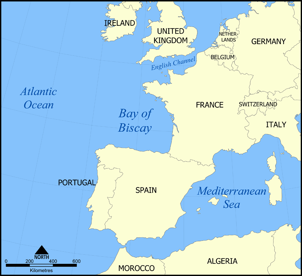
English: A map showing the location of the Bay of Biscay — in the North Atlantic Ocean bordering on France and Spain.
|
| Fecha | 7 de noviembre de 2005 (fecha original de carga) |
| Fuente | No se ha podido leer automáticamente información sobre la fuente; se asume que es trabajo propio (según los derechos de autor reclamados). |
| Autor | No se ha podido leer automáticamente información sobre el autor; se asume que es NormanEinstein (según los derechos de autor reclamados). |
Licencia
Yo, titular de los derechos de autor de esta obra, la publico en los términos de las siguientes licencias:

|
Se autoriza la copia, distribución y modificación de este documento bajo los términos de la licencia de documentación libre GNU, versión 1.2 o cualquier otra que posteriormente publique la Fundación para el Software Libre; sin secciones invariables, textos de portada, ni textos de contraportada. Se incluye una copia de la dicha licencia en la sección titulada Licencia de Documentación Libre GNU. |
| Este archivo se encuentra bajo la licencia Creative Commons Genérica de Atribución/Compartir-Igual 3.0. | ||
| ||
| Esta etiqueta de licencia fue agregada a este archivo como parte de la actualización de la licencia GFDL. |
Puedes usar la licencia que prefieras.

|
File:Bay of Biscay map.svg es una versión vectorial de este archivo. Debería usarse esa versión en lugar de este archivo PNG, cuando sea mejor.
File:Bay of Biscay map.png → File:Bay of Biscay map.svg
Para más información, lee Ayuda:SVG. |
 |
Historial de l'image
Puncha en la data/hora per a vore l'image tal i com es mostrava en eixe moment.
| Data/Hora | Miniatura | Dimensions | Usuari | Descripció | |
|---|---|---|---|---|---|
| actual | 16:44 7 nov 2005 | | 1000 × 913 (334 kB) | NormanEinstein | This is a map showing the location of the Bay of Biscay in the North Atlantic Ocean bordered on France and Spain. Created by NormanEinstein, November 7, 2005 {{GFDL-self}} Category:Maps of seas |
Enllaços a l'image
Les següents pàgines enllacen ad esta image: